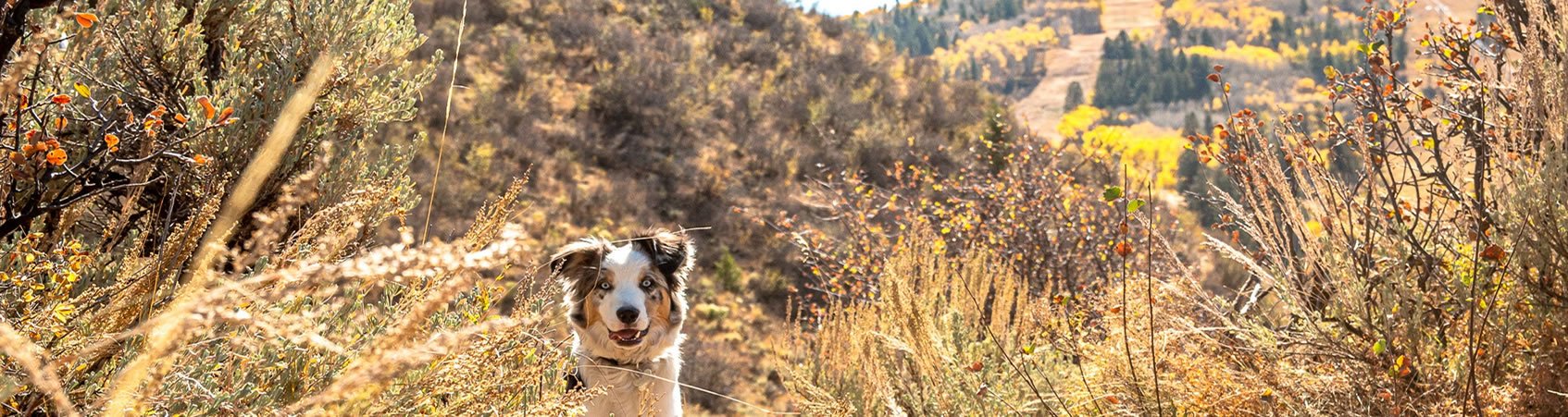
In the heart of Vail Valley, Arrowhead provides central access to some of the most beautiful views of the Rocky Mountain Range accessible by hiking, biking and snowshoeing. In the summertime, wild flowers abound, in the fall the Aspens are getting their signature golden color, and the winter offers lovely views of snow-covered mountain tops and a true Colorado Winter wonderland.
Below you can see designations and descriptions of the beautiful trails Arrowhead has to offer for your pleasure.
-
Click HERE for a printable version of Arrowhead Trail Designations
__________________
You are a GREEN hiker if:
You walk rather than hike
You are a BLUE hiker if:
You can hike from 3 or 4 hours with rest stops as needed
You can hike up to 5 miles roundtrip
You can handle elevation gains of 1,000 or 1,500 feet
You may not be totally acclimated to high altitude but you can hike as described above with rest stops as needed
You are a SINGLE BLACK DIAMOND hiker if:
You can hike up to 5 hours
You can hike for up to 5-7 miles round trip
You can handle hikes that have elevation gains of over 2,000 feet
You can hike at a moderate pace with some stops
You are accustomed to the altitude
You are a DOUBLE BLACK DIAMOND hiker if:
You can hike for 6+ hours
You can hike for up to 10-12 miles round trip
You can handle hikes that have elevation gains of over 2,000 feet
You can hike at a moderate pace with some stops
You are accustomed to the altitude
-
Click HERE for a printable version of Arrowhead Trail Map
-
See the trail descriptions below.
COMING SOON - a printable version of Arrowhead Trail Descriptions
Arrowhead Trail Descriptions:
-
Apache Trail
(Biking, Hiking, Snowshoeing)
Distance: 4.6 miles round trip
Elevation Gain: 1000 feet
Difficulty: Easy - Moderate (Blue)
Winter Grooming: None
Access to the Apache Trail is via the Ute Trail or Lower Arrowhead Mountain Trail. At approximately 2.3 miles, the Ute Trail intersects with the Apache Trail.
-
Arrowhead Loop Hikes
Arrowhead Mountain provides a wonderful variety of loop hikes for all ages and abilities:
Ute-Apache-Lower Arrowhead Mountain Loop (5.5 miles +/-)
Ute-Village to Village Loop (6 miles +/-)
Ute-Village to Village-Arrowhead Mountain Trail to Yurt - Lower Arrowhead Mountain Trail Loop (7 miles +/-)
-
Arrowhead Mountain Trail - Lower & Upper
(Biking, Hiking, Snowshoeing)
Distance: 7 miles round trip loop
Elevation Gain: 1500 feet
Difficulty: Lower Moderate (Blue) / Upper (Single Black)
Winter Grooming: Arrowhead Mountain Trail to the top of the Arrow Bahn lift is groomed weekly and after heavy snowfall
Seasonal Closure: from end of the ski season - 6/30 to protect deer and elk during calving season
Access to Lower Arrowhead Mountain Trail is on the western side of the Arrow Bahn lift where the trail ascends to Cresta Road. Walk across Cresta Road and down to Cabin Creek Lane. Upper Arrowhead Mountain Trail begins at the end of Cabin Creek Lane and continues to the Alpine Club Yurt and on to top of the Arrow Bahn lift. Connecting trails: Apache Trail, Village-to-Village Trail.
-
Cherokee Trail
(Hiking, Snowshoeing)
Distance: 1 mile loop
Elevation Gain: 200 feet
Difficulty: Easy (Green)
Winter Grooming: None
Designed with families and fitness in mind, there are fitness stations along the way and benches at the top for enjoying the view. The trail can be accessed either across from the drop off circle on Cresta Road, or across Cresta Road from the Arrow Bahn lift. The trail accesses great views of the community, Castle Peak and Arrowhead Mountain.
-
Dakota Trail
(Hiking, Snowshoeing)
Distance: 2.08 miles one way
Elevation Gain: 511 feet
Difficulty: Moderate (Blue)
Winter Grooming: None
The Dakota trail is a connector trail that provides an easier climb up and more relaxed decent compared to the middle section of the Ute Trail.
-
Navajo Trail
(Hiking)
Distance: ¼ mile
Elevation Gain: 100 feet
Difficulty: Easy (Green)
Winter Grooming: None
This children’s trail is an integral part of the playground and may be accessed from the east or west end of the playground. It consists of two connected loops, lower and upper. Along the way on both loops are balance beams, stepping-stone tree stumps, and a viewing platform over-looking the playground. The lower loop provides access to the children’s slide.
-
Ute Trail
(Biking, Hiking, Snowshoeing)
Distance: 6 miles round trip
Elevation Gain: 1200 feet
Difficulty: Moderate (Blue)
Winter Grooming: None
Hiker & Snowshoe access is at the marked signs directly behind Blinky’s at the base of Arrowhead. Biking access (SUMMER only) is through the maintenance gate on Cresta Road, slightly up from the base of Arrowhead. In the summer, the section of the Ute Trail that is between the intersections of the Dakota Trail is designated for hiking and UPHILL ONLY biking traffic. The Ute trail ends at the 3-mile point. Connecting trails: Village-to-Village Trail, Apache Trail.
-
Village to Village Trail
(Biking, Hiking, Snowshoeing)
Distance: 7.4 miles one way
Elevation: Low point 7,408’, High point 8,936’
Difficulty: Difficult (Black) if starting in Arrowhead, Moderate (Blue) if starting in Beaver Creek
Winter Grooming: None
Seasonal Closure: from the end of the ski season - 6/30 to protect deer and elk during calving season
The trail goes from Arrowhead to Bachelor Gulch and on to Beaver Creek. It can be done in sections as a way to connect to other trails. Visit hikingproject.com for additional information.
-
Eagle Valley Trail (aka ECO Trail)
(Biking, Walking)
A beautiful paved path that currently spans from Edwards to Vail - Colorado's Eagle Valley Trail has 52.7 miles completed and will one day span 63 miles across Eagle County, from Glenwood Canyon in the west to Vail Pass in the east. Visit their website at eaglevalleytrail.org for information about this amazing trail and project.